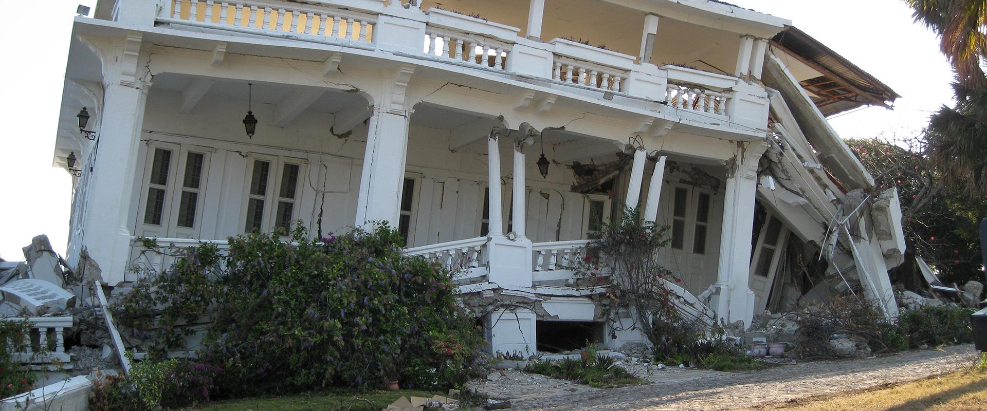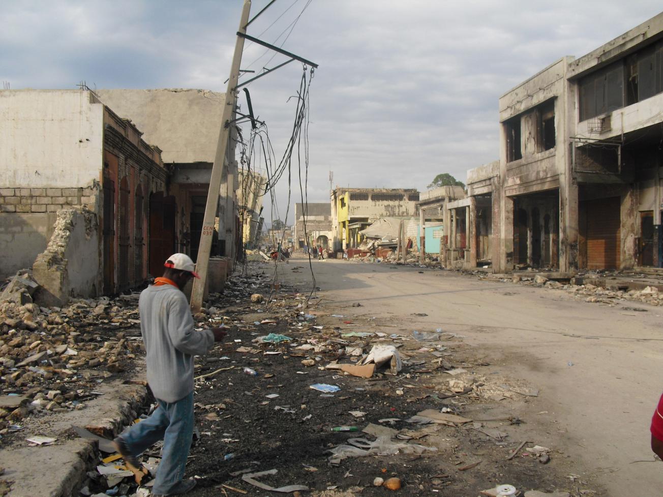
Destruction at Port-au-Prince caused by the 12 January 2010 earthquake.
© BRGM - J.-P. Rançon
The BRGM is actively involved in large-scale projects on natural risks in Haiti and the Dominican Republic.
Thanks to the BRGM's experience and to the methodologies that have been developed in the French Caribbean islands, the BRGM is now working with institutional players within a framework of cooperation and transfers of competence to local scientists.
Concerning seismic risks, the BRGM began by updating knowledge on the geodynamics of the northern Caribbean and the fault system involving the Caribbean and North American plates. By verifying and reinterpreting archived material on past earthquakes, BRGM was able to correct and recalculate regional earthquake risks from more reliable data to obtain realistic estimations. For example, slightly higher risk levels were found, compared to the recommended benchmark levels in Dominica's current paraseismic regulations.
The new levels were used to calculate localised acceleration values from which the BRGM produced an exact (micro)zoning plan of earthquake risks in the sectors surveyed.
Microzoning and damage scenarios
Two seismic microzoning programmes were then launched. In Haiti, BRGM studied five towns from 2001 to 2015, including the mainland sectors of the capital, Port-au-Prince. The aim was to identify zones where site effects due to the relief and the geology can be significant and areas where liquefaction can occur, in order to classify urban areas by homogeneous geological and/or topographical sectors depending on the danger level.
From 2014 to 2016, similar investigations were conducted in the Dominican Republic. In Santo Domingo and Santiago de los Caballeros, several sectors are highly exposed to amplified seismic vibrations. Identifying these sectors is essential to update the paraseismic regulations, adapt planning policies and rebuild more appropriately where destruction has occurred.
The BRGM also develops risk scenarios to estimate the potential damage caused by earthquakes of given magnitude by combining information on earthquake force and the vulnerability of buildings. This was done for Santo Domingo's historic centre, with its highly vulnerable architectural heritage, where we showed that damage to buildings from a severe earthquake would make many people homeless.
BRGM's expertise in this area can be scaled down to specific infrastructure. We diagnosed a number of Haiti's strategic buildings to recommend solutions to protect constructions, ensure greater stability and reduce their vulnerability.
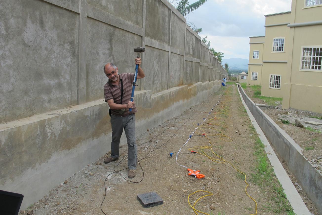
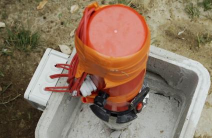
The MASW geophysical data acquisition system deployed in Haiti and the Dominican Republic.
© BRGM
An atlas of natural threats in Haiti
The BRGM also produced an atlas of natural threats in Haiti, which has been published by the World Bank.
Several of these operations were completed in 2016. The BRGM is continuing its activities in Haiti with, for example, a pilot study on paraseismic reinforcement for three secondary schools and two Urban Risk Reduction Plans (PRRU).

