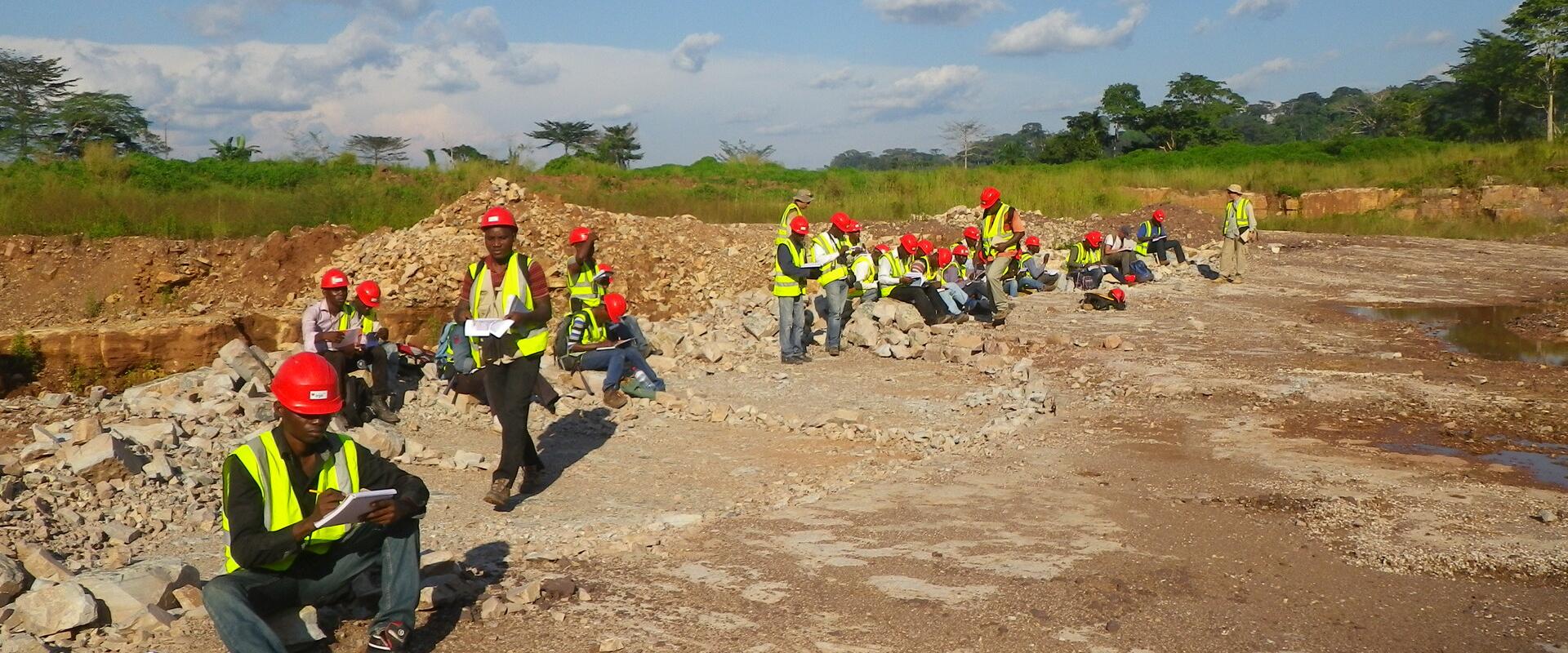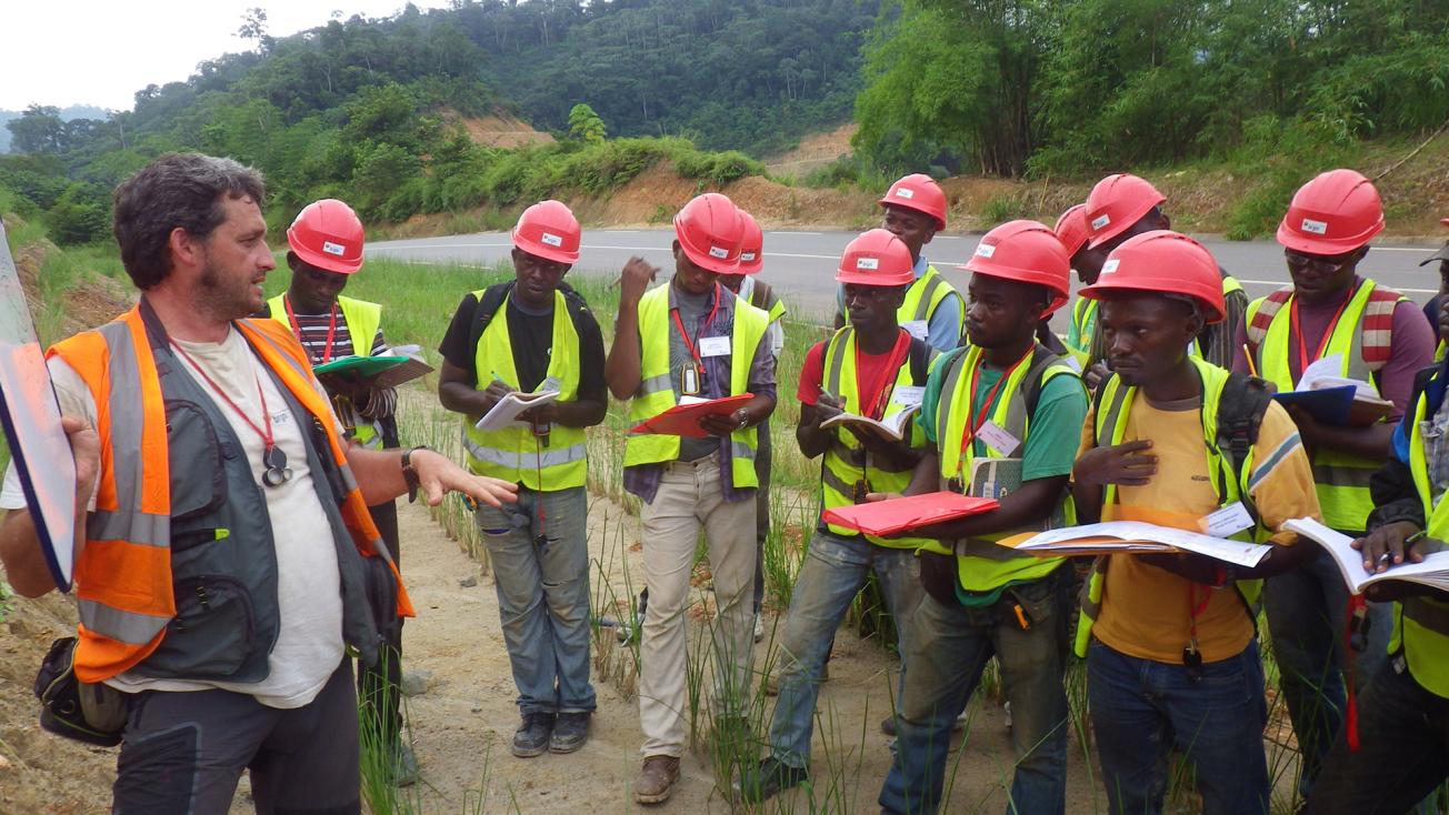
Second-year Master's student from Marien N'Gouabi University on a geology field course.
© BRGM
The BRGM is familiar with the Republic of Congo, having conducted several mineral exploration and mapping campaigns there in recent decades, the most recent commissioned by a mining company from 2006 to 2008.
It was therefore natural for Total E&P Congo, under its contractual obligations to support development in the Republic of Congo in the fields of infrastructure, health, planning and education, to request the BRGM’s services in 2012 for two purposes: to enhance the geological mapping programme for the country and to train local geologists.
Eight geological maps
The first phase of the programme aimed to produce seven 1/200 000 geological maps and one 1/100 000 map over three years. Five of these maps cover the southern tip of the country and the Western Congolese system (Niari and Nyanga basins, Mayombe range and coastal basin), which have proven potential for petroleum and associated poly-metallic resources, including gold, lead, zinc, manganese, phosphate, potassium and bitumen. The other three maps focus on the Plio-Quaternary Meso-Cenozoic terrain of the Congo Basin around and to the north of Brazzaville. The result was a geological information system (GIS) and a database of observations, descriptive data and analyses performed during the project (plus information from 450 earlier reports from the BRGM document collection), providing the Republic of Congo with key information to promote and anticipate management of the country’s mineral resources.
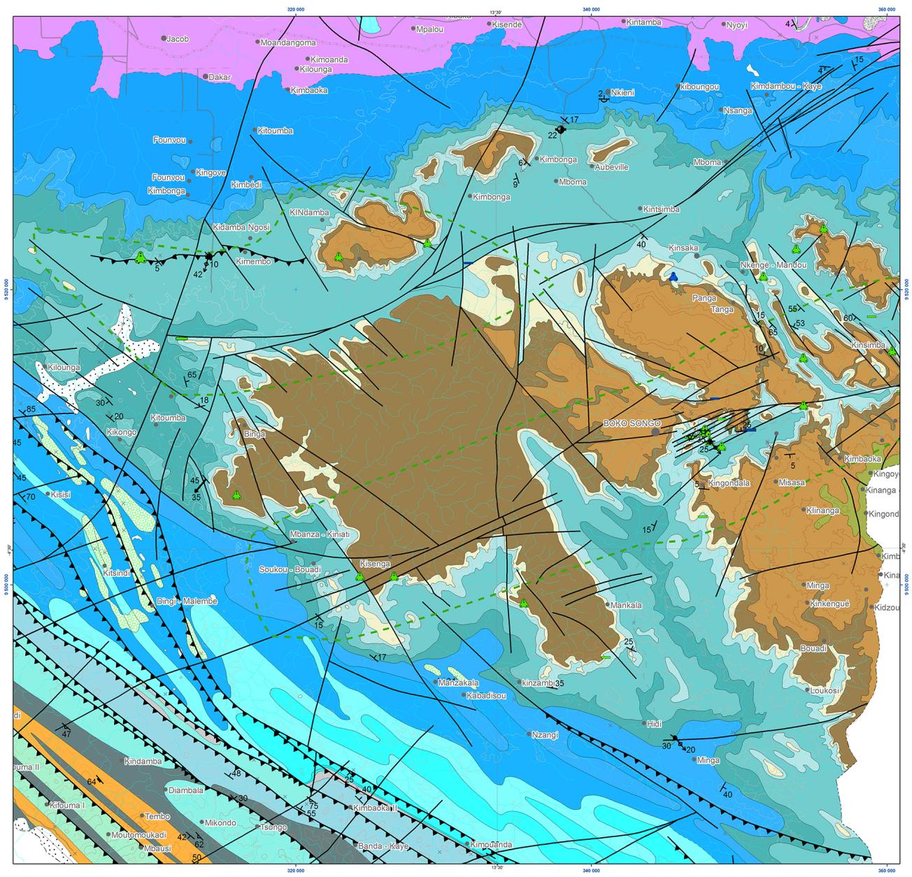
Extract from the 1/200 000 geological map for Conkouati, Pointe Noir, Kibangou, Dolisie, Madingou, MBE-Ngabe, Djambala/NSA-Mpouya, Brazzaville.
© BRGM
Education and training
The project also included an educational component. 72 Congolese students in the second year of their Master’s degree took part in 3-week field courses from 2012 to 2014. This institutional support programme for education and training in the geosciences (general geology, geological mapping, mineral deposits, hydrogeology, sedimentary geology) was conducted in cooperation with lecturers at Brazzaville University.
To follow these field courses, more in-depth training was provided for 20 students selected with the University and Total E&P-Congo. This was provided in the form of mentoring by BRGM geologists during the second year Master’s internship for students from Marien N’Gouabi University. The trainees took part in cartographic surveys before their enrolment, in most cases, at Marien N’Gouabi University’s Faculty of Geology, or recruitment by Congolese businesses and institutions involved in the mining sector.
BRGM geologists worked for a total of 160 weeks in the field for this operation, which is now continuing under a similar project (mining inventory and cartography) for Asperbras, a Brazilian company operating for the Republic of Congo.
The country has high mineral potential and the BRGM is also working to support public policy development, for example via environmental studies prior to the establishment of storage sites or urban developments.
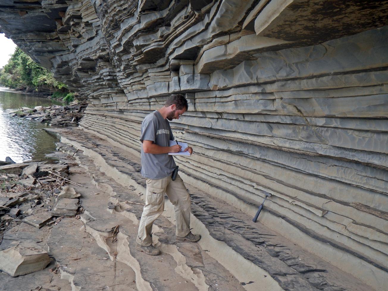
Schist-limestone outcrops on the banks of the Niari river.
© BRGM

