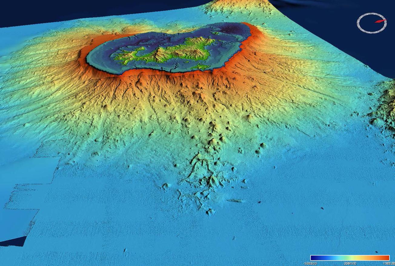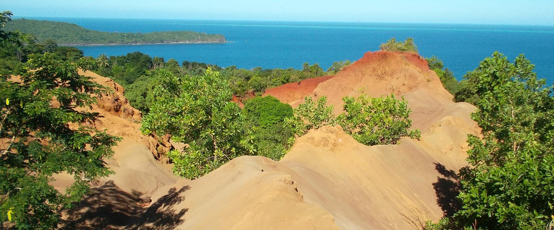
Submarine reliefs off the coast of Mayotte, recorded as part of the oceanographic missions carried out around the birth of a new underwater volcano (Mayotte, 2019).
© Campagne MAYOBS2
Since 10 May 2018, hundreds of earthquakes have been recorded in Mayotte, including the strongest tremor ever recorded in the Comoros area. In May 2019, a new underwater volcano was discovered off the island.
In this context, the Mayotte Volcanological and Seismological Monitoring Network (REVOSIMA) has been set up to monitor seismic and volcanic activity affecting the island of Mayotte. Jointly operated by the IPGP with BRGM and its regional office in Mayotte, REVOSIMA is based on a close scientific and technical partnership with Ifremer, CNRS, BRGM, IPGS and RENASS, IRD, IGN, ENS, the University of Reunion Island, the University of Clermont Auvergne, CNES, Météo France, and SHOM.
Increasing our understanding of seismic and volcanic activity to support those in charge of crisis management
The institutes involved in REVOSIMA are working together to organise the scientific and operational response to the seismic-volcanic crisis off Mayotte. They were entrusted, in the context of inter-ministerial meetings, with the task of making concrete proposals for priority action to be carried out both in research and monitoring over the short, medium and long term in order to better understand the phenomena that are occurring and to provide those responsible for public safety with the scientific knowledge necessary for crisis preparedness and management.
REVOSIMA publishes bi-monthly reports to monitor the seismic-volcanic activity in Mayotte.
Ongoing scientific actions include:
- studying seismic-eruptive dynamics on land and at sea, in particular through measurement campaigns at sea and underwater instrumentation in order to monitor changes in seismicity and volcanism,
- measuring the deformations of the island and studying its impacts on the risk of marine flooding,
- studying the risk of gravitational instabilities and assessing their consequences on the tsunami hazard,
- improving knowledge of Mayotte's tectonics and geodynamic context,
- ensuring continual monitoring of the geochemistry of volcanic fluids.
These actions are essential for preventing disasters and protecting populations. They are based on data collected during the MAYOBS sea campaigns and the CNRS INSU Tellus Mayotte SISMAYOTTE research programme.


