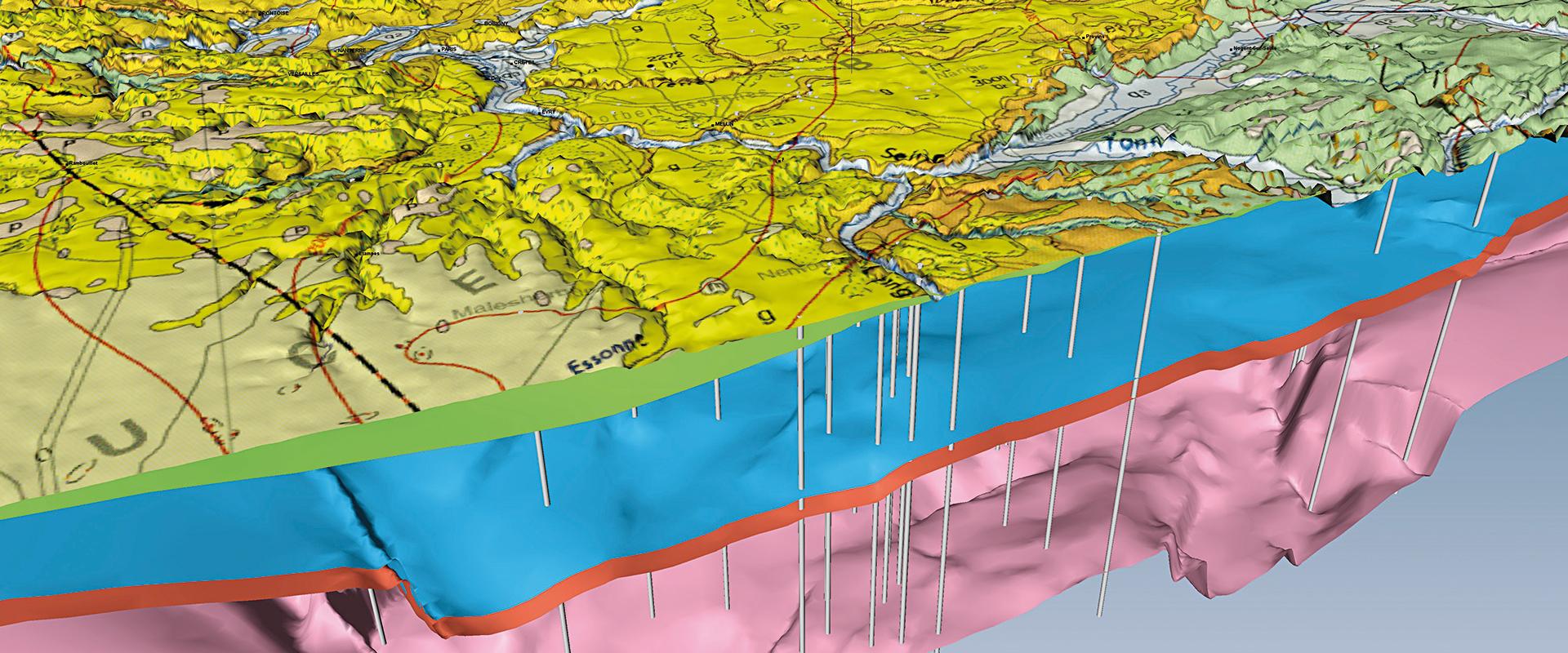
InfoTerre is BRGM's web portal for scientific data. It provides free online access to BRGM scientific data: geological maps, the Subsurface Database (BSS) and a wide range of other data grouped together by theme. Discover the tutorials available on the InfoTerre portal. 
29 March 2019

Improving the display of geological shapefile maps in QGIS

To enable you to exploit the full potential of its digital geological maps in shapefile format, BRGM has created this tutorial which explains how to use the attributes of geological formations in order to display the right colours and notations. 

© BRGM 

Installing patterns for geological map symbology in QGIS

Tutorial on how to install changes to the symbology of vectorised, harmonised geological maps in QGIS. 

© BRGM 

Browsing on InfoTerre

Is this your first time on InfoTerre, BRGM's scientific data portal? This video explains the basics you need to browse the site: moving, zooming in, zooming out, interacting directly with the scale, and searching for a specific place. All you need to get started. 

© BRGM