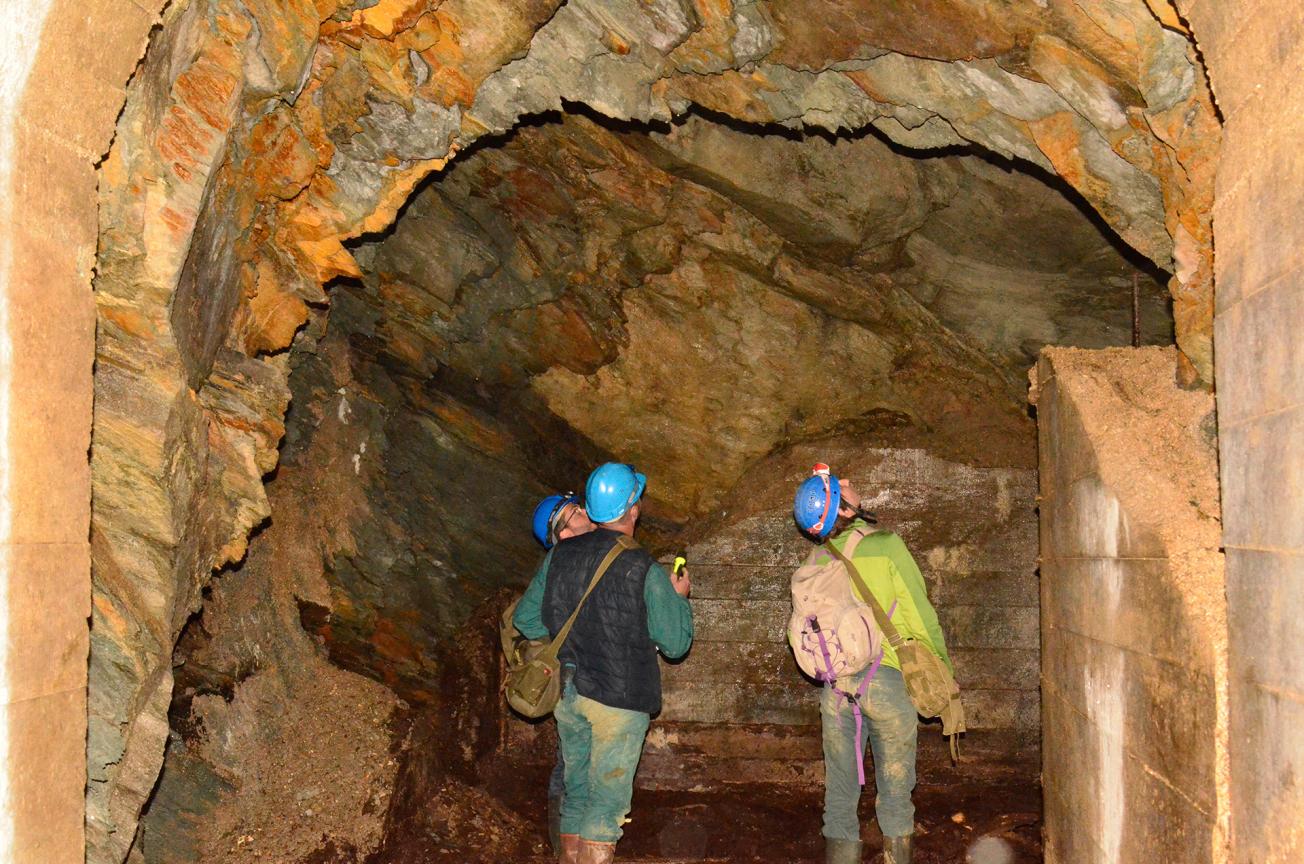
Diagnosing the stability of underground ex-military workings in the Saint-Sauveur neighbourhood of Cherbourg-en-Cotentin.
© BRGM
The need
The expert study conducted in 2015 unearthed archives relating to underground cavities used by the military and mainly dating to the WW2, whose sometimes precarious state of repair could become a hazard for people and property situated directly above or in the vicinity. The BRGM put forward a programme for assessing the risks raised by these aging tunnels and cavities within the new municipality of Cherbourg-en-Cotentin, especially those built for military use. The aim was not only to communicate the existence of these underground cavities and the associated risks, but also to recommend any necessary programmes for safety work, monitoring and risk prevention.
The results
An initial programme of investigations was able to locate the underground ex-military workings within the new municipality of Cherbourg-en-Cotentin by means of bibliographic searches and ground surveys. The stability of the cavities was then described on the basis of an inspection and geotechnical mapping. Stability diagnoses (level 1 according to the IFSTTAR guide) were produced on the basis of geometry surveys conducted by the BRGM with a ZEB-REVO 3D laser scanner. Comparisons between the maps produced from the diagnoses and the safety issues on the surface can now be used to guide measures to be implemented to protect people and property.
On completion of the investigations and diagnoses, all data relating to the geometry of the underground workings (contours, surface areas, etc.) and their stability (unstable ceilings, fracturing, etc.) were stored in a dedicated GIS databank for use by government agencies. Finally, a detailed report on each of the cavities inspected provides a summary of their stability, with recommendations for any safety work required.

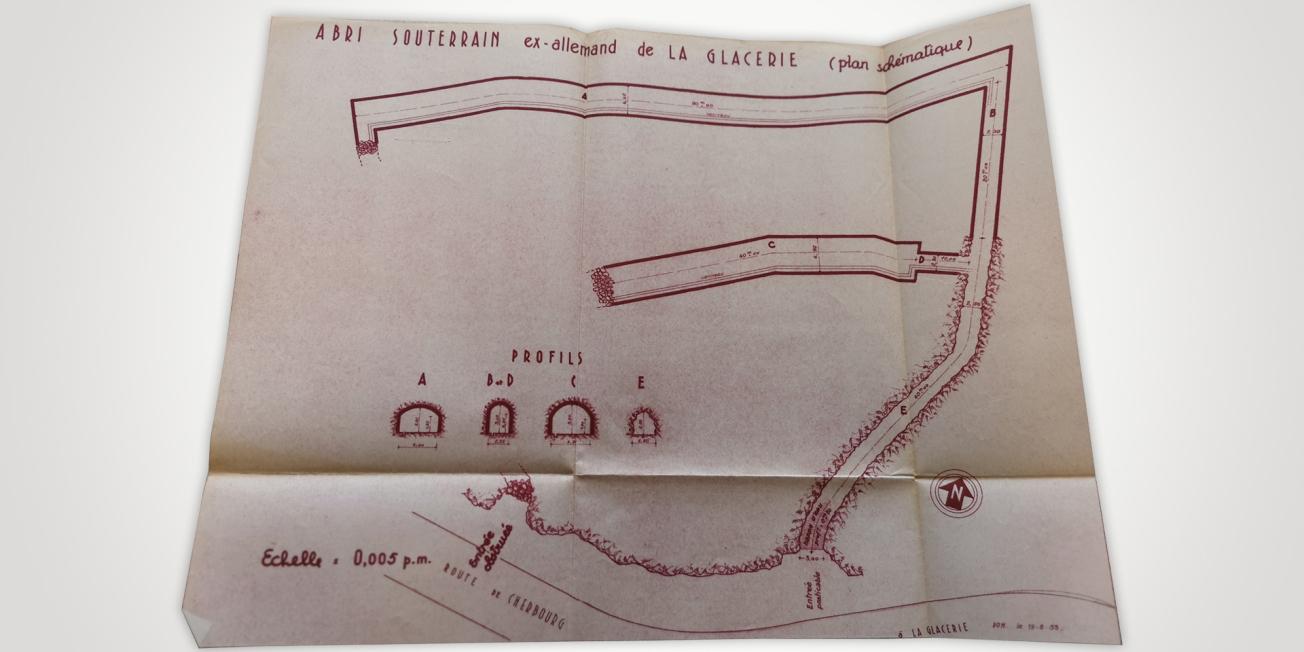
Plan of an underground WW2 bunker at Cherbourg-en-Cotentin (N France).
© BRGM
Using the results
This study will enable central and/or local government agencies to communicate information on the risks raised by abandoned ex-military man-made cavities within the new municipality of Cherbourg-en-Cotentin.
The partners
- Direction Départementale des Territoires et de la Mer de la Manche


